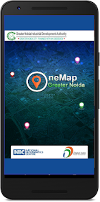
GNIDA GIS: A Citizen Centric GIS Mobile App for Greater Noida Industrial Development Authority
GNIDA GIS is a free mobile app developed by the National Informatics Centre for the Greater Noida Industrial Development Authority (GNIDA). This app provides citizens with access to information about plots and nearby facilities based on their location. With the help of geo-spatial technology, users can easily navigate and explore the area of Greater Noida.
The GNIDA GIS app offers a user-friendly interface that allows users to search for specific plots or facilities within the city. By leveraging their device's GPS capabilities, users can view their current location on the map and find nearby amenities such as schools, hospitals, parks, and more. This app is especially useful for residents, property buyers, and investors who want to gather information about the available plots and facilities in Greater Noida.
Overall, GNIDA GIS is a valuable tool for anyone interested in accessing geospatial information about Greater Noida. With its intuitive interface and comprehensive database, users can easily explore the city and make informed decisions based on their specific needs and preferences.